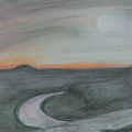
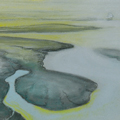
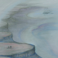
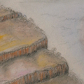
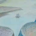
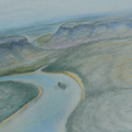
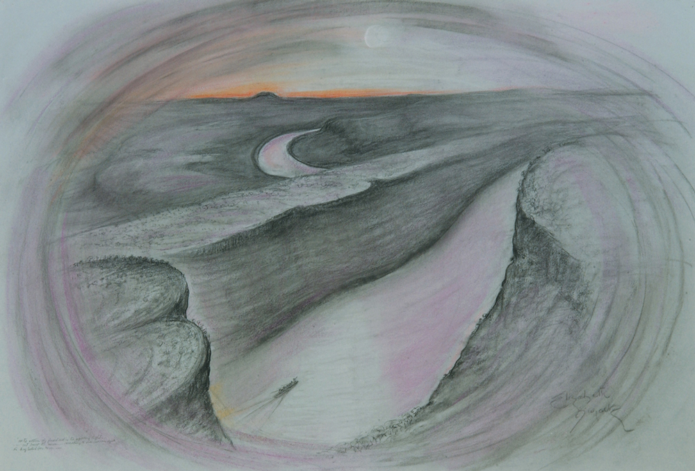
Dreaming up the Victoria (1994) consists of some 18 large aerial impressions of the Northern Territory’s longest and most majestic river. The pastel drawings depict, and loosely follow, the course taken by Captain John Clement Wickham and Commander John Lort Stokes who in the Beagle had explored and named the river in 1839.
Elizabeth Durack was familiar with the river since the 1930s and on several occasions had sailed along it from The Depot (present-day Timber Creek) and up the coast to Darwin. In 1994 when reading Stokes’ Discoveries in Australia, Journal of a Voyage of Discovery during the Voyage of HMS Beagle, 1837-1843 opportunity arose for her to fly low over the river. These drawings are a result. They reflect the beauty of the river country and also the exhilaration, the commitment and aspirations of the early explorers.
Like explorers before and after them, Wickham and Stokes had dreamed of finding a route to an inland sea. During October–November 1839 they managed to sail and row some 250 kms up river (after leaving Beagle at Holdfast Reach some distance from the mouth.) Stokes and five others in the expedition then followed the river on foot for almost another 100 kms before the river petered out into large waterholes and they decided, reluctantly, to turn back.
It was another 50 years or so before the source of the river, a spring in the Tanami desert, was discovered and the river itself accurately traced winding its way some 560 kilometers to the sea.
Titles for Dreaming up the Victoria derive mainly from Stokes’ lively Journal.
